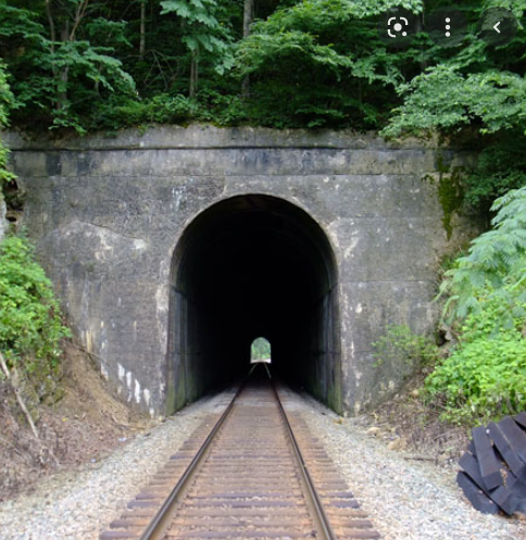
Railroad Tunnels in Colorado
Assist the Federal Railroad Administration in mapping the location of railroad tunnels in Colorado.
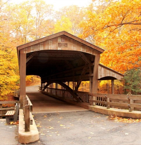
Bridges in Michigan
More details on this project available soon!
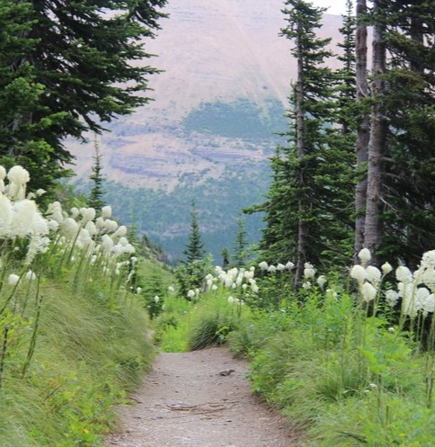
Trail Network in Washington
More details on this project available soon!
“Many government agencies and private companies are unwilling to accept the legal risk of using data not explicitly placed in the public domain. Removing these restrictions fosters data sharing, the creation of knowledge, and cultivates understanding.”
Derald Dudley, Transportation Theme Lead, NSDI, USDOT
Who uses Public Domain Map data?

Interested in using Public Domain Map for your agency? Reach out to info@publicdomainmap.org